I always like to start my school year off with Maps and Globes. I think it is a great hands-on social studies unit and it culminates in two great projects! Today I was looking at the different activities that I have created and/or gathered and decided that I was going to try to do a center rotation with some of the more hands-on components. To be honest, the beginning of the year involves me doing a lot of talking, and I thought this would be a great way to get the kids working together and talking about social studies to each other!
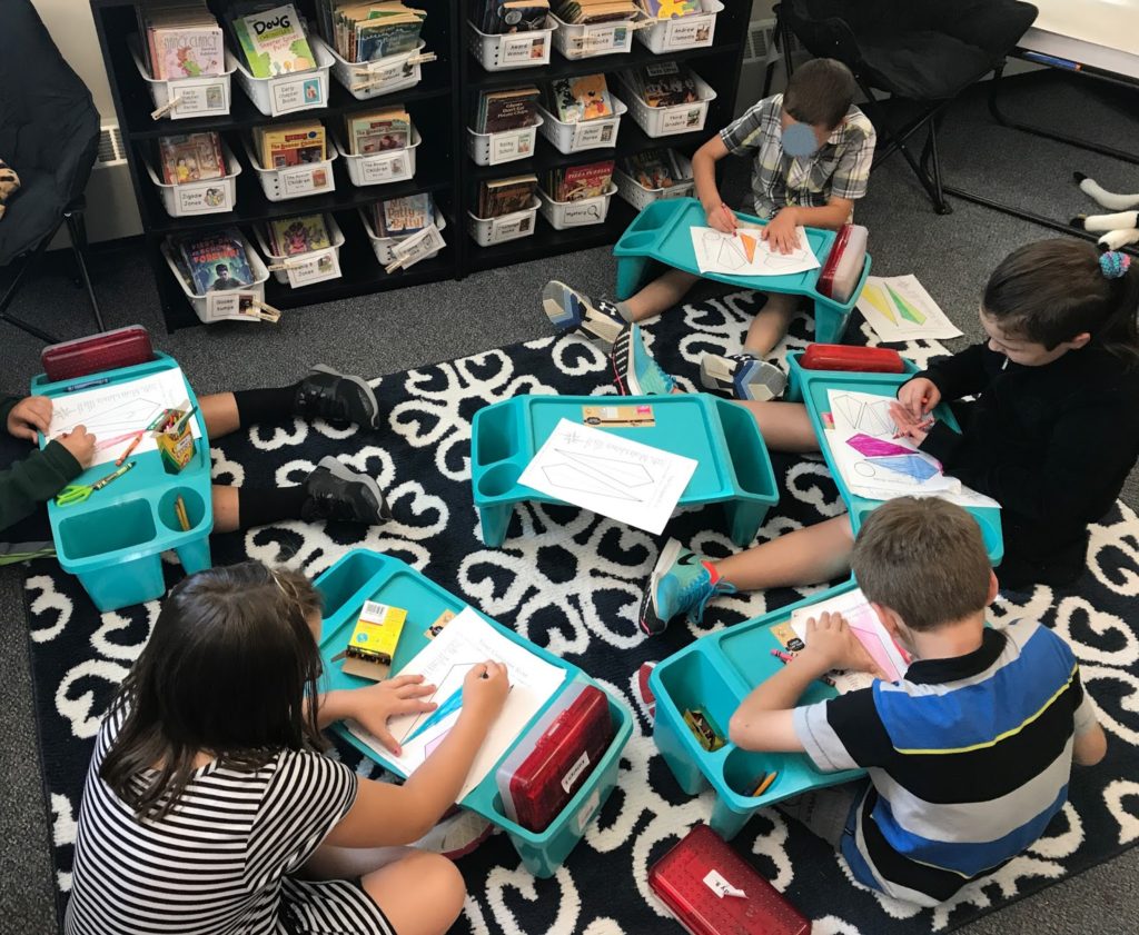
The first “center” I included was a compass rose craftivity that I have been using for years. Students color their compass rose and then constuct it by cutting/gluing to a large sheet of construction paper. Then they have to label all of the cardinal directions. We have been talking about the compass rose for a few days, so this was a great independent center. They kids loved sitting in the book corner and using the lap desks! It was the first time we used them.
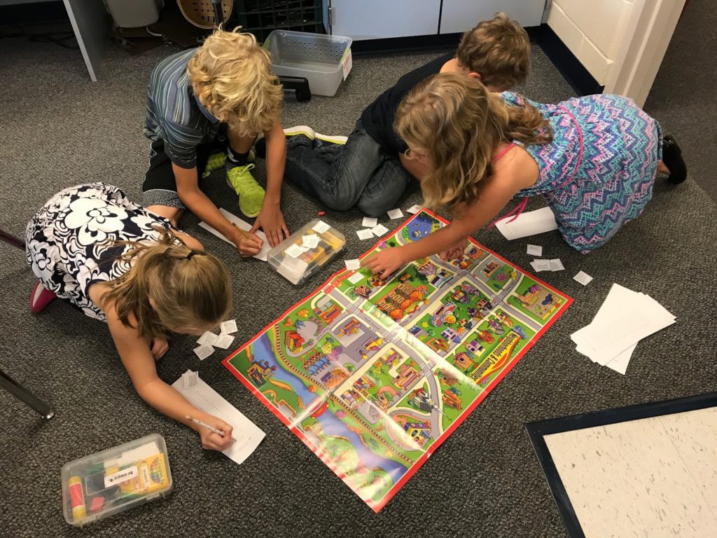
The second center was a giant colored map that I had saved from a Scholastic map resource book. I pulled it out and it was screaming to be used. It came with cards that ask students to find things on the map and then travel to another location. I created a quick recording sheet and the students worked together to figure out the direction that needed to be traveled for each card. It warmed my teacher heart to watch them work cooperatively together to figure out the directions.
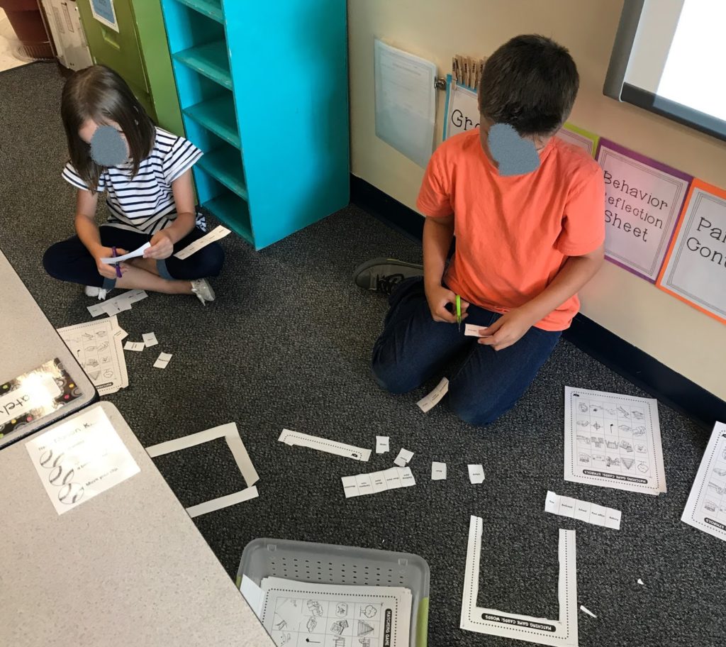
The next center was a map key matching
center. In another Scholastic map book that I have, there are some great “memory” type cards that are perfect to photo copy and have the kids cut out. They were able to play independently and then again with a partner to match up the words with the symbols. It really hammered home the idea of symbols standing for something on a map.
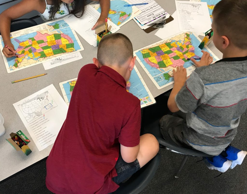
The fourth center was a map activity that I
created a few years ago. It includes a map of the United States where each state is outlined. Then students use a student map of the United States that is labeled to complete tasks such as “draw a blue square in Florida” or “color the Great Lakes orange.” It is a great way to have students familarize themselves with the United States map and compare two different maps. As a bonus, they have to really read the directions in order to know exactly what to do for each step.
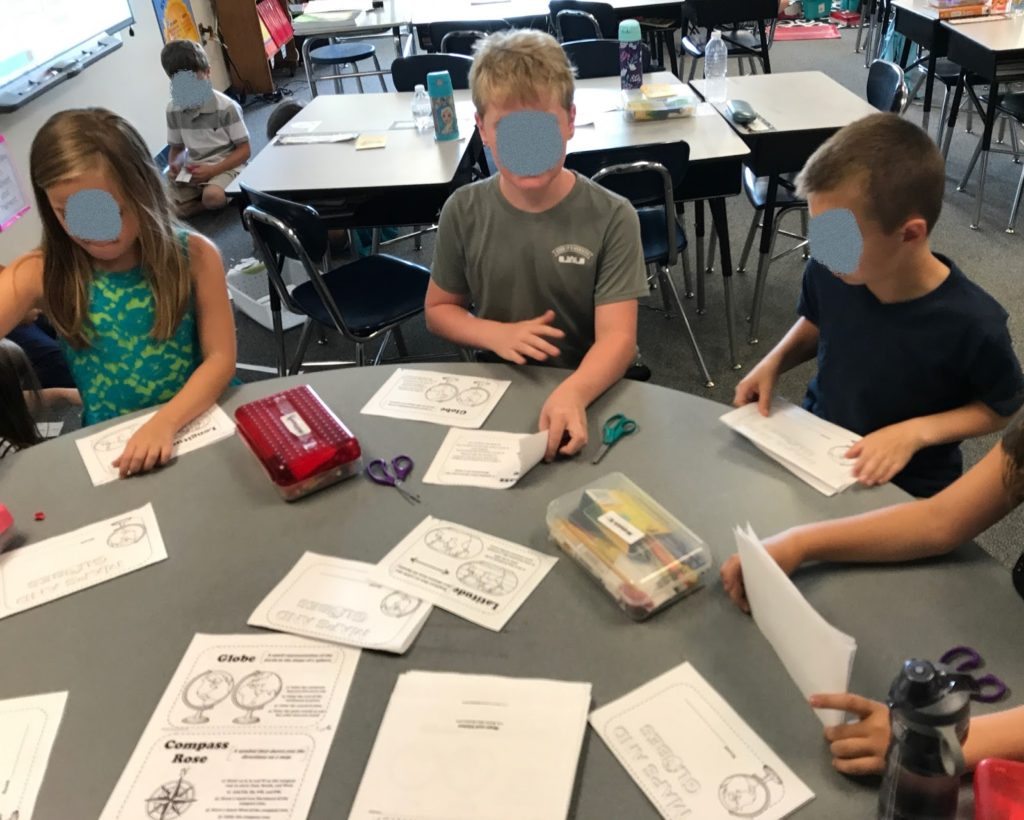
The final center we did was at my table. A
few years back I found this Freebie from Miss Martin on TpT and it is a great! It is a little map and globe booklet. It is a great way to summarize our learning of map and globe skills in a really fun way. I worked with a group at my table and we were able to do about half of the booklet in 30 minutes. I will probably let them work more on it when they have extra time (after they finish other assignments).
So as you can see, the map and globe centers were a hit! We did one center today and will continue to do one a day until they have completed all 5! It was great to see their teamwork and collaboration as they worked their way through the different tasks.
~Heather
